Image

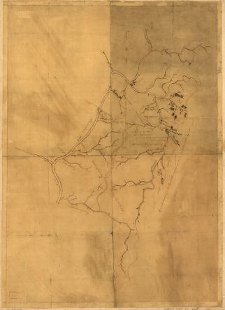
The title, land tract boundaries with owners' initials, and some place names on this map have been identified as annotations by Washington, circa 1780.
Credit: Library of Congress
The title, land tract boundaries with owners' initials, and some place names on this map have been identified as annotations by Washington, circa 1780. Although the map's maker and date are unknown, other sources suggest that it was probably made between 1758 and 1771. The "Capt Crawford" referred to on this map is William Crawford, a Pennsylvania land surveyor who assisted Washington in patenting land in western Virginia (now West Virginia) and Pennsylvania.


