magnifier
Image
magbottom
 
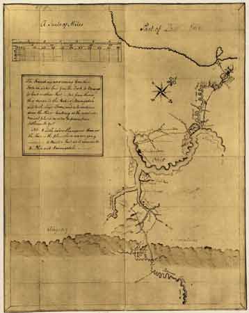
George Washington drew this map of his route upon his return from a trip to Fort LeBoeuf.
Close Window

George Washington drew this map of his route upon his return from a trip to Fort LeBoeuf. He followed the Venango Path from the forks of the Ohio River, east to the village of Venango, then north to the forts of Leboeuf and Machault, depicted at the northern terminus of his route.

Credit: Library of Congress Geography and Map Division

In 1754 George Washington drew this map of the area surrounding Fort LeBoeuf, part of which showed a section of the Venango Trail.

Back to Top