Image

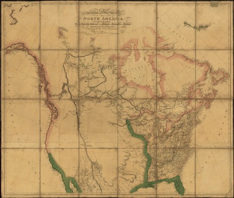
A. Arrowsmith's Map of North America, London, 1802.
Credit: Library of Congress, Geography and Map Division
Aaron Arrowsmith's map, published in London in 1802, was the best available to Lewis, who used it to plan his expedition.


