Image

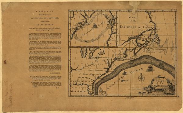
A chart of the Gulf Stream, c. 1786.
Credit: Library of Congress Geography and Map Division Washington, D.C.
Includes inset of North Atlantic and text in left margin "Remarks upon the navigation from Newfoundland to New-York, in order to avoid the Gulph Stream on one hand, and on the other the shoals that lie to the southward of Nantucket and of St. George's Banks," by B. Franklin. Appears in the Transactions of the American Philosophical Society, 1786.


