Image

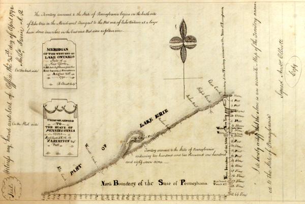
Survey of the Erie Triangle, by Andrew Ellicott, copied in his own hand, 1815.
Credit: Courtesy of the Pennsylvania State Archives, In the records of the Department of State. Indian Deed Book.
The Erie Triangle, acquired by the State of Pennsylvania in 1791, gave the Commonwealth access to the commerce of the Great Lakes. It was also the last significant boundary change to state, giving it the borders it retains today


