Image

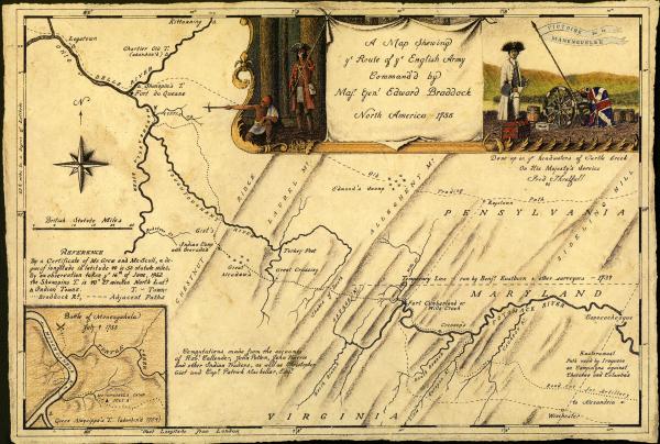
1755 Map of Braddock's Road.
Credit: Map design by Fred Threlfall, used by permission of Paramount Press, Inc.
In 1755 Braddock's military engineers and laborers cut a road through the Pennsylvania wilderness from Fort Cumberland on the Potomac River to the French post Fort Duquesne at the Forks of the Ohio. After French and Indian forces smashed Braddock's troops on July 9th, it became an avenue of retreat from the most devastating British defeat of the war.


