Image

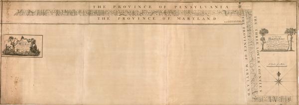
"A plan of the west line or parallel of latitude, which is the boundary between the provinces of Maryland and Pensylvania: a plan of the boundary lines between the province of Maryland and the Three Lower Counties on Delaware with part of the parallel of latitude which is the boundary between the provinces of Maryland and Pennsylvania." J. Smither sculpsit. Philadelphia: Robert Kennedy, 1768.
Credit: Library of Congress
In 1768 Robert Kennedy of Philadelphia published the original map of the boundary between Maryland and Pennsylvania surveyed by Mason and Dixon. That year commissioners from both colonies signed and affixed their wax seals to a print of this map. The map itself measures 76 by 27 inches.


