Image

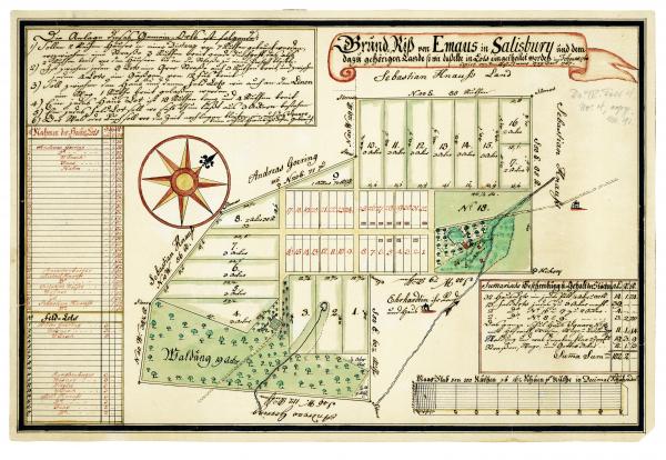
Plat map of Emmaus, PA, 1760.
Credit: Courtesy of the Moravian Archives
Formed in 1759 as a Moravian village on land owned by the church, Emmaus remained closed to outsiders until it incorporated as a Pennsylvania borough in 1859.


